
Erta Ale topographic map
Interactive map
Click on the map to display elevation.
About this map
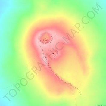
Name: Erta Ale topographic map, elevation, terrain.
Location: Erta Ale, Zone 2, Afar, Äthiopien (13.60298 40.66336 13.60308 40.66346)
Average elevation: 497 m
Minimum elevation: 386 m
Maximum elevation: 595 m
Other topographic maps
Click on a map to view its topography, its elevation and its terrain.