
Borawli topographic map
Interactive map
Click on the map to display elevation.
About this map
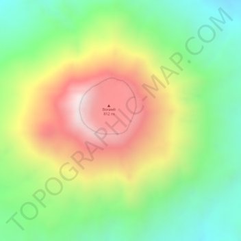
Name: Borawli topographic map, elevation, terrain.
Location: Borawli, Zone 2, Afar, Äthiopien (13.30234 40.99141 13.30244 40.99151)
Average elevation: 434 m
Minimum elevation: 128 m
Maximum elevation: 803 m
Other topographic maps
Click on a map to view its topography, its elevation and its terrain.