
Zone 4 topographic map
Interactive map
Click on the map to display elevation.
About this map
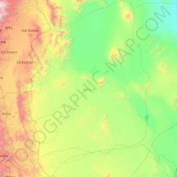
Name: Zone 4 topographic map, elevation, terrain.
Location: Zone 4, Afar, Äthiopien (11.66530 39.80075 13.01301 40.74988)
Average elevation: 875 m
Minimum elevation: 25 m
Maximum elevation: 3,510 m
Other topographic maps
Click on a map to view its topography, its elevation and its terrain.