
Kurub topographic map
Interactive map
Click on the map to display elevation.
About this map
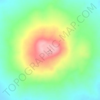
Name: Kurub topographic map, elevation, terrain.
Location: Kurub, Zone 1, Afar, Äthiopien (11.88374 41.20853 11.88384 41.20863)
Average elevation: 495 m
Minimum elevation: 420 m
Maximum elevation: 604 m
Other topographic maps
Click on a map to view its topography, its elevation and its terrain.