
Koumala topographic map
Interactive map
Click on the map to display elevation.
About this map
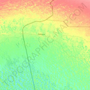
Name: Koumala topographic map, elevation, terrain.
Location: Koumala, Chad (14.01609 13.31828 14.65609 13.95828)
Average elevation: 288 m
Minimum elevation: 271 m
Maximum elevation: 321 m
Other topographic maps
Click on a map to view its topography, its elevation and its terrain.
Billié بليي
Chad > Bahr el Gazel > Salal > Billié بليي
Billié بليي, Salal, Bahr el Gazel, Chad
Average elevation: 277 m