
Fluvanna County topographic map
Interactive map
Click on the map to display elevation.
About this map
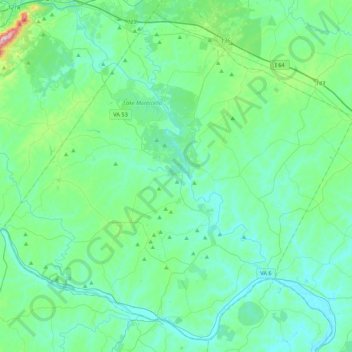
Name: Fluvanna County topographic map, elevation, terrain.
Location: Fluvanna County, Virginia, United States (37.69118 -78.49169 38.00641 -78.06320)
Average elevation: 117 m
Minimum elevation: 52 m
Maximum elevation: 478 m
Other topographic maps
Click on a map to view its topography, its elevation and its terrain.
Deep Creek
United States > Virginia > Accomack County
It lies at an elevation of 3 feet.
Average elevation: 1 m