
Aremark topographic map
Click on the map to display elevation.
About this map
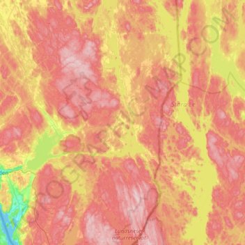
Name: Aremark topographic map, elevation, terrain.
Location: Aremark, Viken, 1798, Norway (59.03368 11.55353 59.33813 11.82980)
Average elevation: 150 m
Minimum elevation: 0 m
Maximum elevation: 266 m
Other topographic maps
Click on a map to view its topography, its elevation and its terrain.