
Krokhol topographic map
Interactive map
Click on the map to display elevation.
About this map
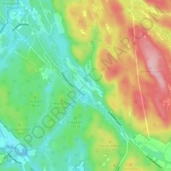
Name: Krokhol topographic map, elevation, terrain.
Location: Krokhol, Nordre Follo, Viken, 1404, Norway (59.78358 10.90823 59.82358 10.94823)
Average elevation: 193 m
Minimum elevation: 126 m
Maximum elevation: 305 m
Other topographic maps
Click on a map to view its topography, its elevation and its terrain.