
Rendalen topographic map
Click on the map to display elevation.
About this map
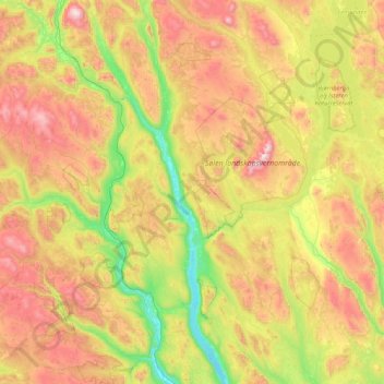
Name: Rendalen topographic map, elevation, terrain.
Location: Rendalen, Innlandet, Norway (61.41291 10.44849 62.20031 11.84327)
Average elevation: 783 m
Minimum elevation: 246 m
Maximum elevation: 1,732 m
Other topographic maps
Click on a map to view its topography, its elevation and its terrain.