
Etnedal topographic map
Click on the map to display elevation.
About this map
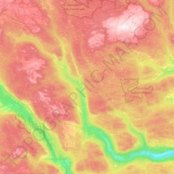
Name: Etnedal topographic map, elevation, terrain.
Location: Etnedal, Innlandet, 2890, Norway (60.79925 9.37765 61.12798 9.81561)
Average elevation: 788 m
Minimum elevation: 143 m
Maximum elevation: 1,404 m
Other topographic maps
Click on a map to view its topography, its elevation and its terrain.