
Østre Toten topographic map
Interactive map
Click on the map to display elevation.
About this map
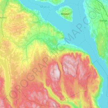
Name: Østre Toten topographic map, elevation, terrain.
Location: Østre Toten, Innlandet, Norway (60.47058 10.67147 60.77494 11.15399)
Average elevation: 365 m
Minimum elevation: 118 m
Maximum elevation: 841 m
Other topographic maps
Click on a map to view its topography, its elevation and its terrain.